My spouse Sara and I are section hiking the New England Trail using public transit. There are some areas that require overnights due to the distance between public transit stops, but most can be done as day hikes.
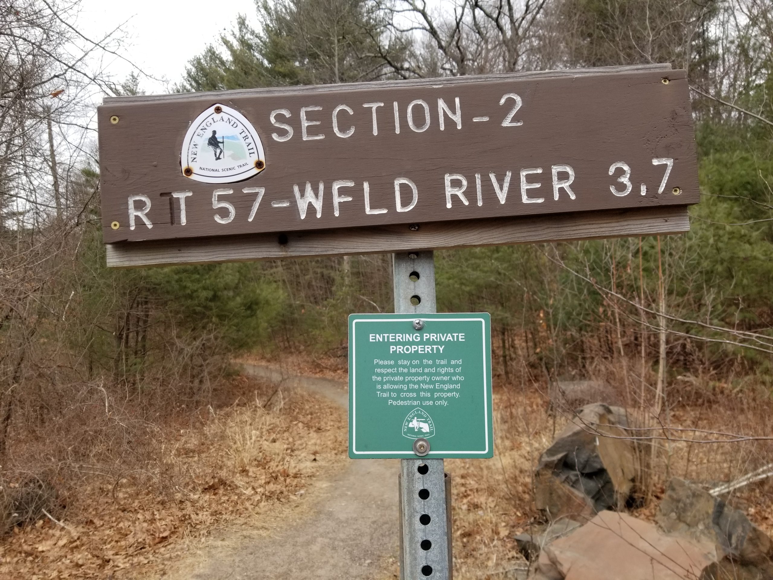
Last month we hiked Massachusetts Section 2, which is in the towns of Agawam, Southwick and Westfield.
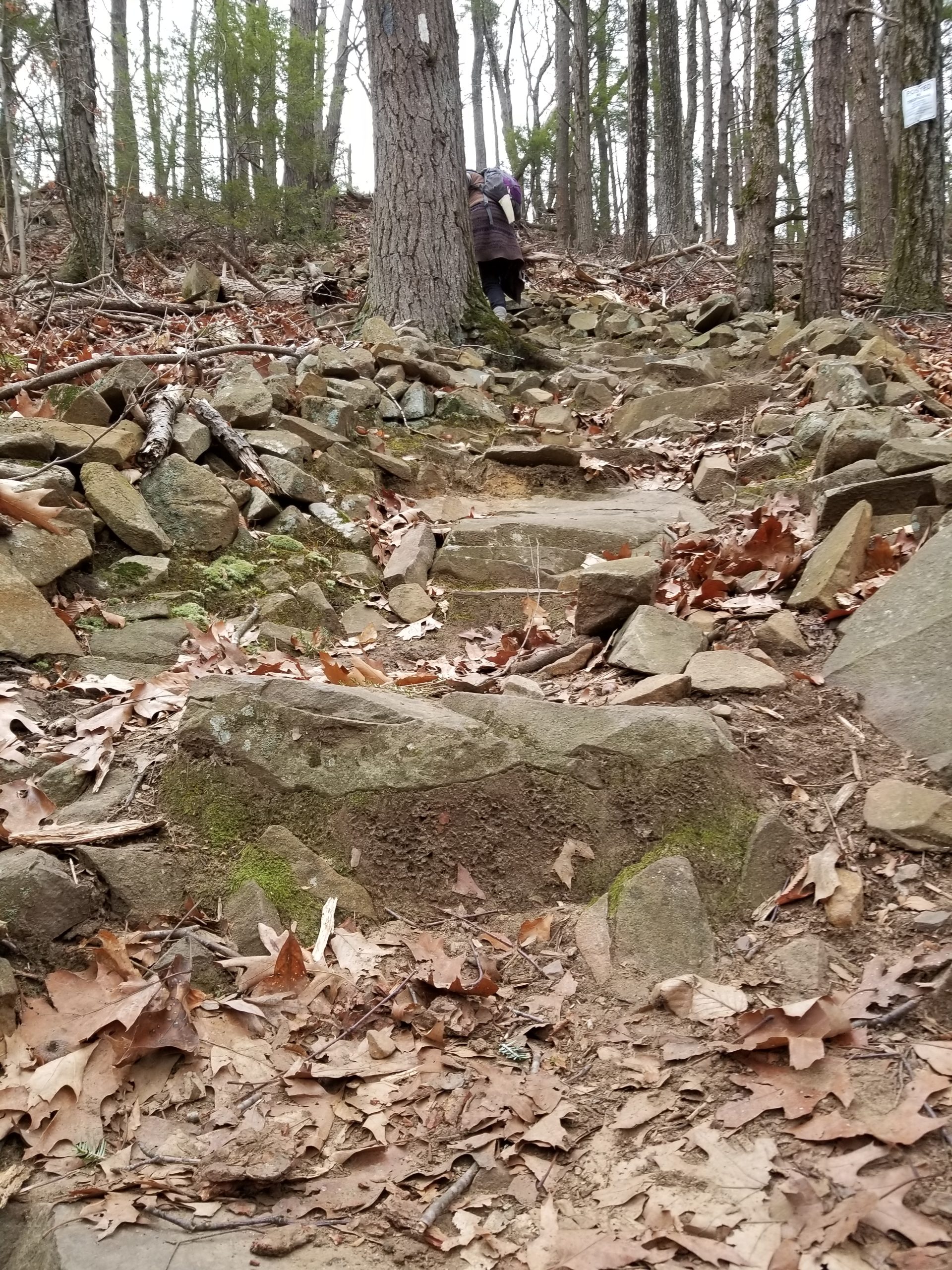
- Hike difficulty: Moderate – two steep climbs, otherwise mostly flat.
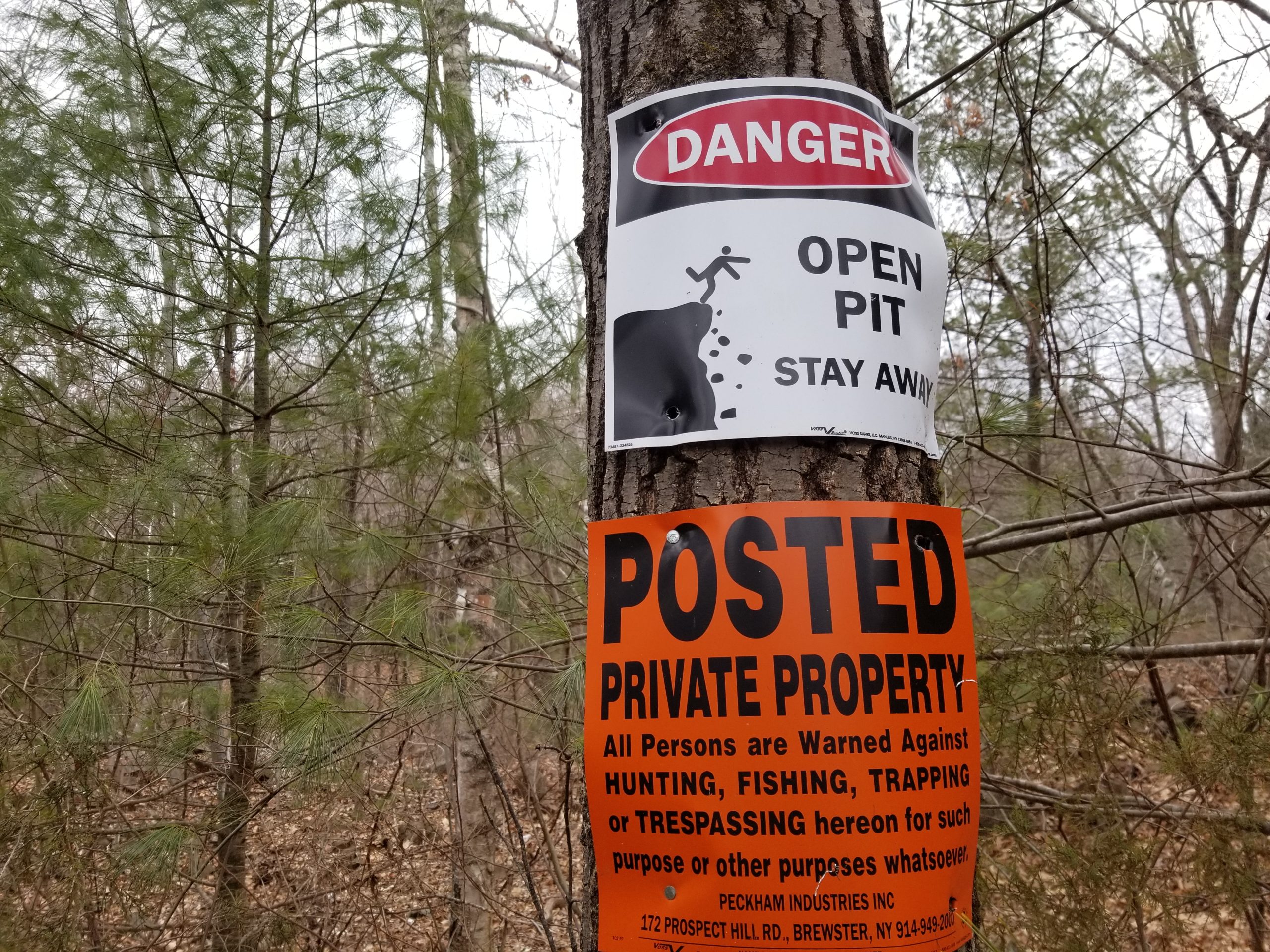
- Approach difficulty: Hard – walking along highways with heavy traffic without sidewalks for much of the way. At the north end, in times of low water, the Westfield River can be forded and there is a transit stop right on the other side of the river.
- Distance: 3.5 to 4.1 miles (6.9 to 7.5 miles with approaches)
- Transit: PVTA R14 (schedule) & R10 (schedule) from Springfield Union Station. Route G73E provides trips every half hour from Northampton’s Academy of Music to Springfield Union Station.
Interactive map:
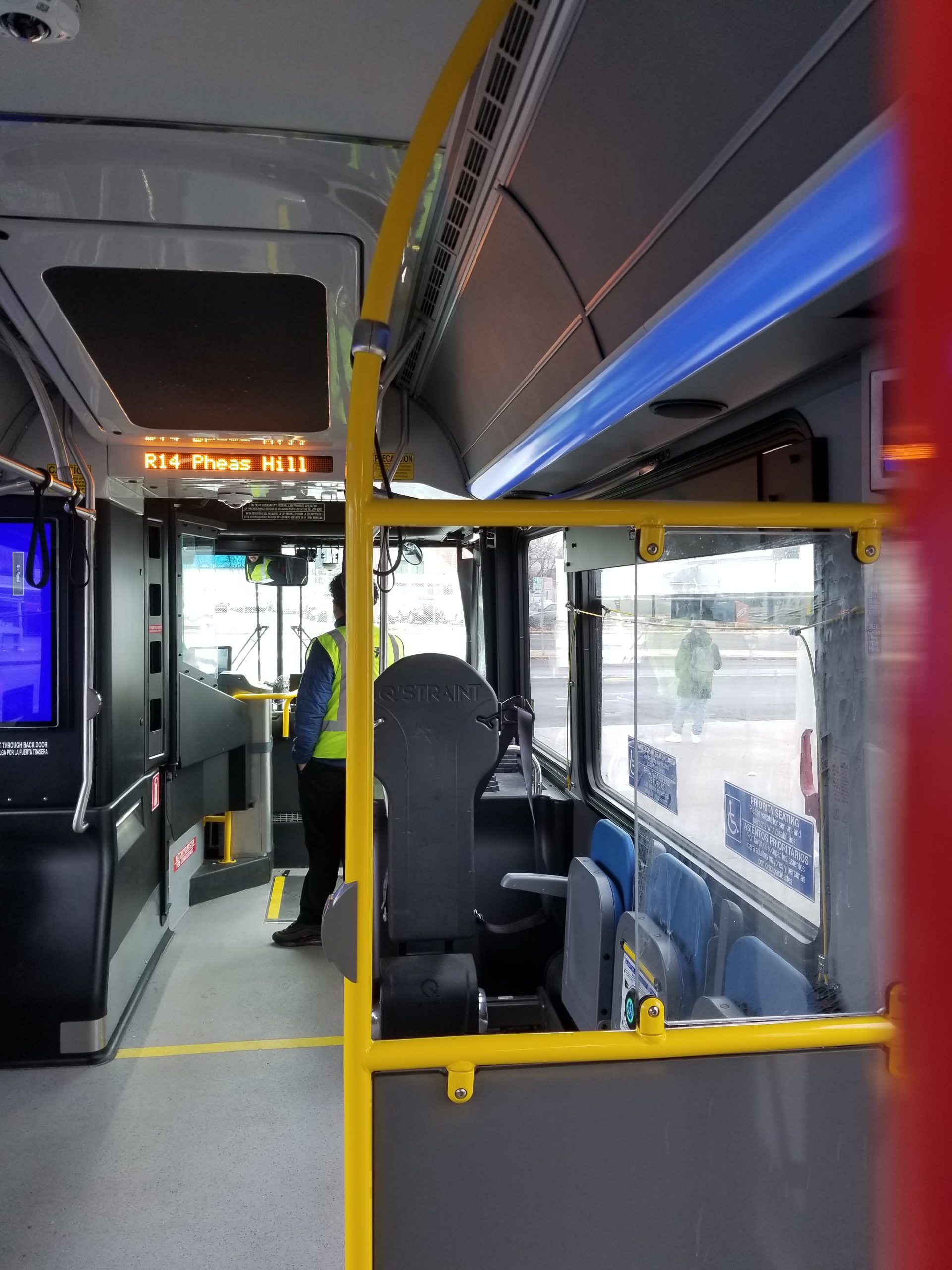
Directions to the southern end: Take the R14 to Pheasant Hill Apartments (transit directions), walk 1.2 miles on S. West Street to Rt. 57 to the trailhead (walking directions).
At the northern end, walk 2.2 miles on Feeding Hills Rd to Little River Rd to Rt. 20 to the bus stop in front of Chipotle (walking directions). Or if the Westfield River is low, you can ford the river and catch the R10 bus back to Springfield Union Station at Westfield Street (Rt. 20) and Old Westfield Road (transit directions).